By Brazil Stock Guide – Brazilian oil major Petrobras (BVMF: PETR4) and the Federal University of São Paulo’s Marine Institute (Imar/Unifesp) are developing an artificial intelligence (AI) system to map the marine and coastal ecosystems of Brazil’s Equatorial Margin. The initiative aims to better understand the region’s biodiversity and guide environmental characterization before potential offshore exploration begins.
The information was first reported by Broadcast (Agência Estado). The project is led by Gustavo Fonseca, a researcher at Imar/Unifesp’s Baixada Santista campus, who heads a team of more than 20 scientists and interns. The group is creating a system to generate predictive maps identifying the most strategic locations for biological sampling.
AI and data science for marine research
The research, supported by the National Institute for Space Research (INPE), the Oceanographic Institute of the University of São Paulo (IOUSP), the Fluminense Federal University (UFF), and the Rio de Janeiro State University (UERJ), is funded through a technological cooperation agreement with Petrobras and managed by the FapUnifesp Foundation.
Fonseca said the group builds on experience from previous offshore studies. “We advanced this AI branch to model scenarios at depths ranging from 25 to 3,000 meters,” he noted. “These statistical models will support other researchers tasked with presenting the region’s environmental complexity.”
Turning satellite data into insights
The models rely on more than a decade of satellite imagery and complex environmental series, enhanced with newly obtained data. “A single aerospace image contains over 200,000 lines of data. The challenge is turning that into simple answers that support decision-making,” Fonseca explained.
The first phase is expected to be delivered by late 2025. Fieldwork includes 54 sampling stations across the regional grid and six along the Equatorial Margin, totaling 474 sediment samples.
Logistics and costs
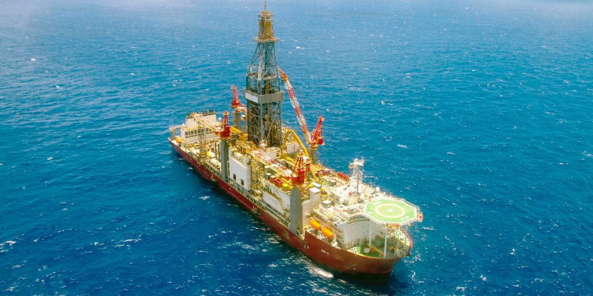
Petrobras manages logistics and research vessels, while universities handle data processing and analysis. “A single day at sea can cost between $80,000 and $100,000, so sample quality is crucial,” Fonseca said. “With a preliminary map showing the most representative ecological areas, we provide the best information for decision-making.”
The full environmental database is scheduled for completion by 2029, and the system may later be used to standardize environmental characterization plans across Petrobras projects.